The Department of Public Works and Highways (DPWH) will partner with the Department of Science and Technology (DOST) and the University of the Philippines (UP) Training Center for Applied Geodesy and Photogrammetry in its infrastructure planning for roads, bridges and flood control projects.
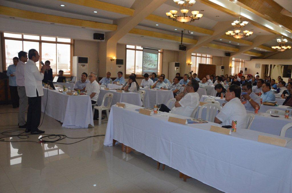
DPWH Secretary Rogelio L. Singson, in a seminar held at the DPWH Head Office conducted by DOST, UP, and Office of the Civil Defense, has directed the usage of the latest technologies as tools for planning infrastructure projects to ensure their resiliency and structural integrity.
“As results of the damage inflicted to our infrastructure based on our experience from the “Habagat,” Typhoons “Sendong,” “Pablo” and the supertyphoon “Yolanda,” and Bohol earthquake, we can now modify the standard designs of our projects, specifically, roads, bridges, and flood control structures,” said Secretary Singson.
In the briefing attended by DPWH key officials, including Regional Directors and planning staff, Dr. Alfredo Mahar Lagmay explained DOST’s Nationwide Operational Assessment of Hazards or Project NOAH and its component projects such as Hydromet Sensors Development, DREAM-LIDAR 3-D Mapping Project, Flood NET-Flood Management Modeling Project, Hazards Information Media, Strategic Communication Intervention, Disaster Management using WebGIS, Enhancing Geo-hazards Mapping through LIDAR, Doppler System Development, Landslide Sensors Development Project, Storm Surge Inundation Mapping Project, and Weather Information – Integration for System Enhance (WISE).
Dr. Lagmay said that these tools or data sets are useful in future planning of infrastructure projects for infra agencies.
Secretary Singson directed the DPWH Planning Service, Project Management Office for Major Flood Control projects, the Regional Directors and their Planning Officers including the District Engineering Offices to make use of the high-resolution flood hazard maps, landslide hazard maps, Digital Surface Model, Digital Surface Model and other available planning tools.
Intensive trainings for DPWH concerned personnel shall be conducted nationwide to teach them on how to use these available technologies as basis for planning and monitoring.
Dr. Lagmay said that the designed models or maps are accurate, reliable and detailed in relation to hazards.
He cited the DPWH for providing historical data on water levels in the different rivers in the country that were helpful in their installation of more sophisticated water level sensors.
For his part, Dr. Eric Paringit of UP-DREAM project has explained the details and possible usage of Disaster Risk and Exposure Assessment for Mitigation (DREAM) data sets in coming with standard designs of infrastructure suited to the localities.
Dr. Paringit has also reported that the DPWH Pangasinan 3rd District Engineering Office has already made use of the flood hazard map in planning flood control projects along Aloragat river in the province of Pangasinan.